
With climate change intensifying, swift monitoring is key for disaster response and sustainable industries. ArkEdge Space Inc. aims to "Empower people with satellites for a prosperous future" by offering a wide range of services, from mass production of many types of small satellites to providing satellite-based solutions by developing a geospatial platform using satellite and ground data. This exhibition features oil spill monitoring, climate-smart farming, water and forest management, GHG tracking, along with IoT and hyperspectral satellite models for real-world use.
Satelite Solutions
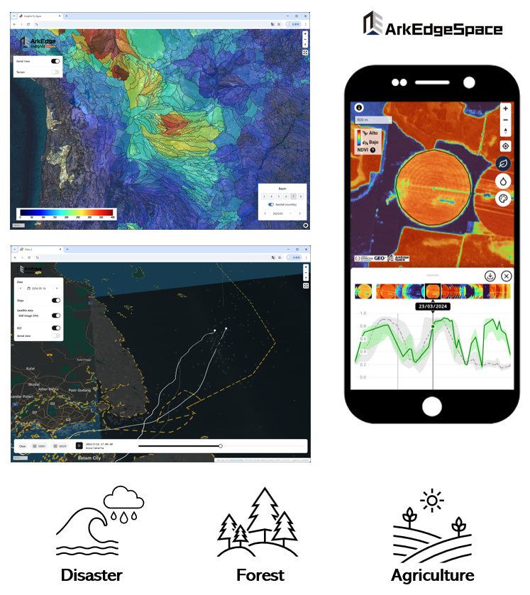
Satellite-based Geospatial Platform for Disaster, Environment, Climate-Resilient Agriculture
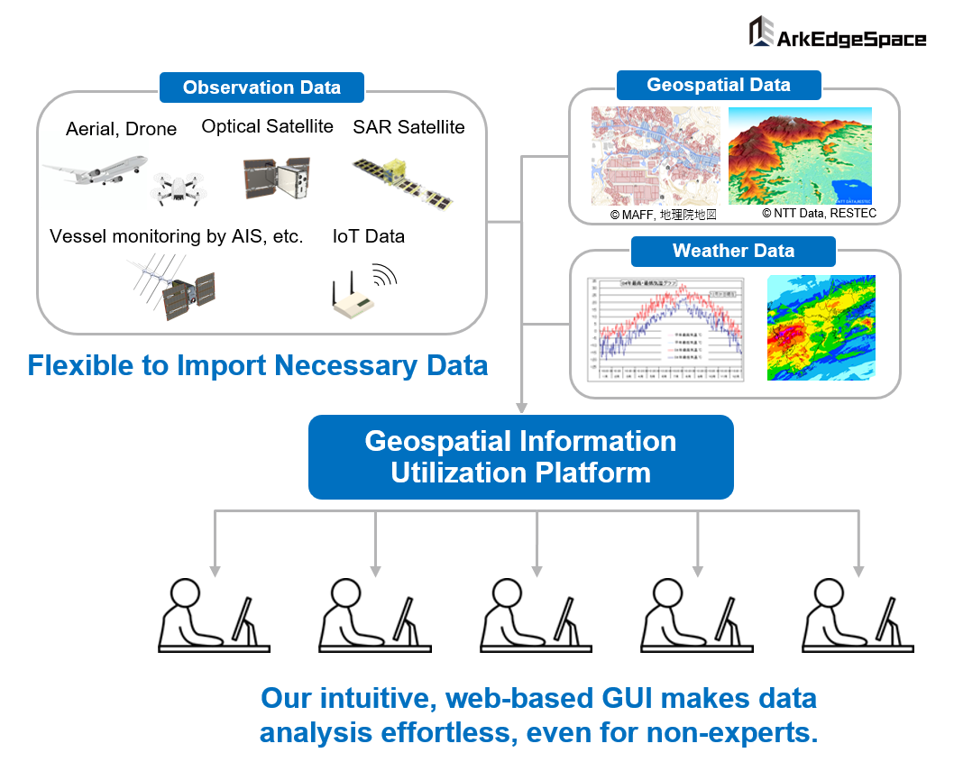
Platform that automatically collects, processes, and analyzes diverse data, including satellite data, and visualizes essential information with simple operations
Platform to provide web-based intuitive user interface that allows anyone to use it without specialized knowledge in satellite data analysis or geospatial information
Implementation Report
Leaders from climate-vulnerable nations across South America, Africa and small island states visited us and showed strong interest in our 6U satellite and geospatial platform for climate monitoring, disaster alerts and forest protection. We launched the Forest Lab, uniting industry, technology and finance, and signed an MoU with Tajikistan for glacier and GHG-monitoring research.
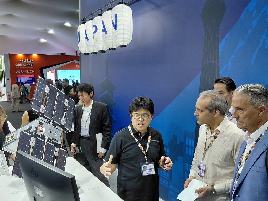
Briefing to Cuban Minister of Environment
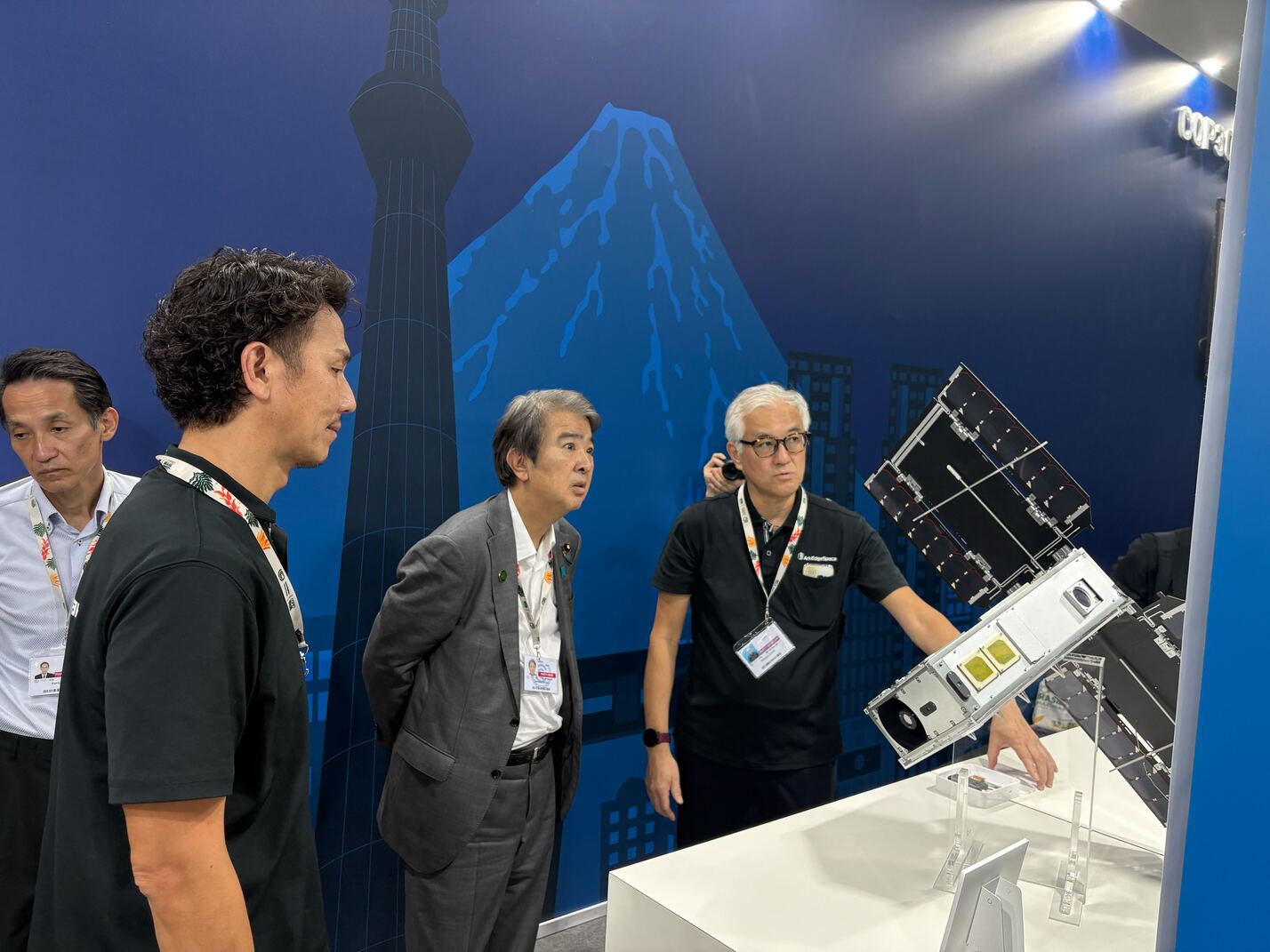
Briefing to Minister ISHIHARA of the Environment
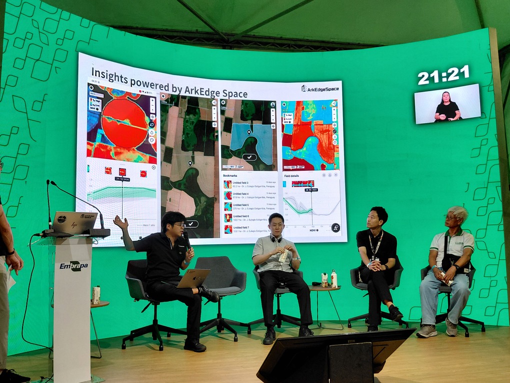
The Forest Lab Concept Panel Discussion
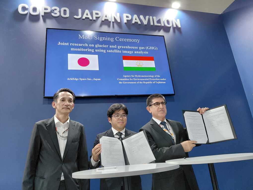
MoU Signing with the Republic of Tajikistan
